A few weeks ago, Quiet and Safe San Rafael (QSSR) published the claim that 79 units per acre, zoned for potentially proposed for in Terra Linda*, is more dense than Manhattan or Hong Kong. Though they are technically correct, QSSR wildly misinterprets the concept, the data, and ignores the density already in our midst.
Density limits
A density limit in Marin restricts how many units can fit on the parcel as measured in acres. 2 units on a quarter-acre parcel works out to 8 units per acre (2 divided by 0.25 equals 8). This doesn't include the street, parks, commercial development, or anything else beyond the building's parcel.
I don't know how Hong Kong does their density limits, but Manhattan doesn't usually have per-unit density limits. Instead, New York limits how much floor area a building can have (a measure called floor-area ratio, or FAR, if you're wondering). Again, this is based on the parcel, not the supporting infrastructure or all the other buildings.
The danger with measuring densities at a municipal level, as QSSR has done with Manhattan and Hong Kong, is that it does include all the rest of the city. It's like measuring the size of a house and calling it all a bedroom. It is disingenuous to compare that to the parcel-based densities used by San Rafael.
So while it's true that Manhattan averages 58 units per acre, higher than Terra Linda's allowed 79, that includes Central Park, Times Square, the avenues and streets, the docks, ferry terminals, office buildings, plazas, schools, police stations, City Hall, the UN, the New York Stock Exchange, and all the other things that aren't housing on that island.
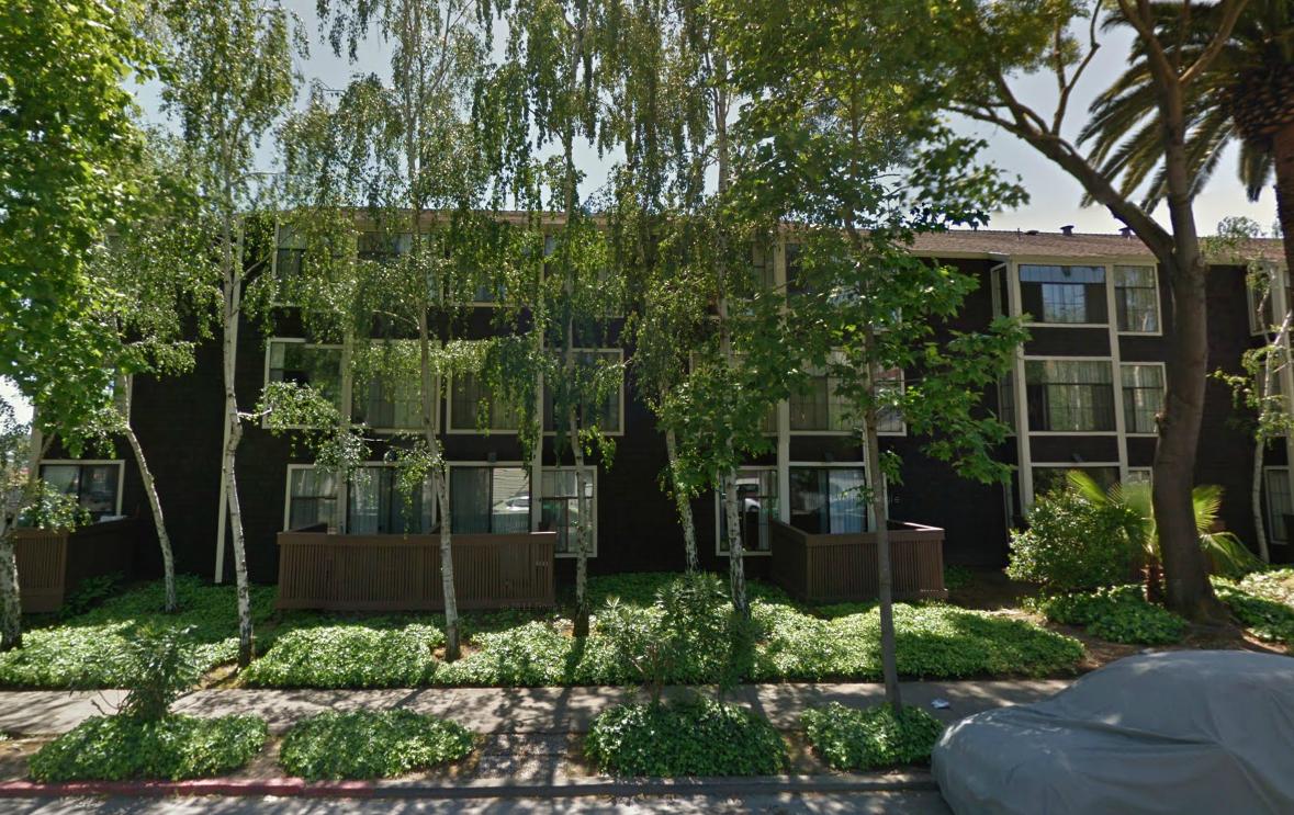
That's ridiculous. Using San Rafael's measuring system, a 20-story tower in Manhattan would average to 800 units per acre, far and away higher than Terra Linda's 79. There's a three-story senior home, San Rafael Commons, that hits 90 units per acre. Is it "more dense than Manhattan"? Not in any meaningful sense.
This exposes the danger of using density as a proxy for character, as it doesn't measure anything about that. Character comes from a building's form: how tall it is, how far back it's set from other buildings or the street, etc. A single-family home can fit a second unit in the back, which doubles the parcel's density. A three-story building could be filled with two-bedroom apartments and be low density, or be filled with studio apartments and be high density. It wouldn't change the building's visual impact.
Whether QSSR tried to be deliberately misleading or not, it is clear they are trying to stir up fear of tower blocks along 101. There are legitimate things to worry about in Plan Bay Area and legitimate things to critique. It's truly unfortunate this activist group has chosen to focus on the ridiculous instead.
*Update and Correction: The intro misstated the current zoning and planned zoning and density around the Civic Center SMART station. Current zoning tops out at 43 units per acre, depending on where one looks. San Rafael's Station Area Plan calls for densities "above 44 units per acre", while the proposed Transit Town Center PDA calls for zoning to accommodate 20-75 units per acre. QSSR's number comes from the average of all PDAs in the Bay Area, which is not applicable to any individual PDA like the Civic Center area in Terra Linda.